
What is El Niño, and How Could It Impact California and the West Coast?

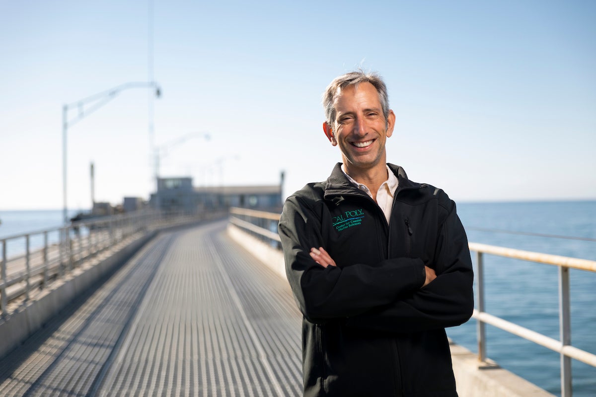
It’s been appearing in headlines for weeks now: a “super Godzilla monster El Niño” could potentially bring increased rainfall to California in the coming months. But what does that mean exactly? Cal Poly News sat down with biological sciences professor Ben Ruttenberg, who heads the Center for Coastal Marine Sciences, to talk about the climate phenomenon and what it may hold for the West Coast.
What is El Niño?
El Niño is a climate phenomenon in which the trade winds that normally blow from east to west across the Pacific in the equatorial region start to shut down.
Normally, the winds push across the Pacific Ocean and create upwelling, which displaces warm water on the surface and then pulls water up from the deep that is both cold and very nutrient-rich.
Picture a bathtub full of water. Now imagine you have a fan blowing really hard across the water. The fan will push some of that water to the other side of the bathtub, and then it will pull some of the water to the surface that's at the bottom. There’s a circulation of water that’s happening, and it creates slightly more water at the far end of the bathtub from the fan.
But when the fan turns off, the water sloshes back. That’s essentially what happens in the Pacific during El Niño.
When the winds slacken, the warm tropical water that would usually be pushed to the west sloshes back to the East Pacific. It creates a cap of warm water, which means there is much less upwelling happening in the East Pacific. The waters on this entire side of the ocean are much warmer than they usually are.
What kinds of marine impacts do we typically see in California during an El Niño?
Warmer water is the first sign. But then it triggers a bunch of other changes. You may have seen the recent video of the whale shark swimming up the coast of California. Folks have also spotted manta rays. Those are tropical animals. The fact that a whale shark was swimming near California means the water is a whole lot warmer than it normally is.
You may also have seen footage of huge waves down in Southern California. Those big swells are mostly generated by hurricanes. Earlier this fall, there were four named tropical storms moving in a row in the East Pacific, which is a very unusual occurrence. As hurricanes pass over the water, they draw the heat that fuels the storm, which actually tends to cool the water down. The fact that there were this many storms at the same time means there is an abnormal amount of heat in the ocean.
We also see marine mortality events caused by the warm water. If the water is typically 65 degrees Fahrenheit, and it heats up by 10 degrees, the organisms that don’t have the ability to just move away — like whale sharks — are going to suffer, and some may die. Another thing we expect to see is habitat compression.
Organisms like krill and baitfish — which are important food sources for a wide range of other animals — prefer cooler waters, which contain more nutrients and more food for them. Warmer waters generally have fewer nutrients and less food. While the entire region is warmer than normal, there is still a little more upwelling near the coast from local winds. That upwelling brings some water that is cooler and more nutrient-rich to the coast, and those organisms will follow it.
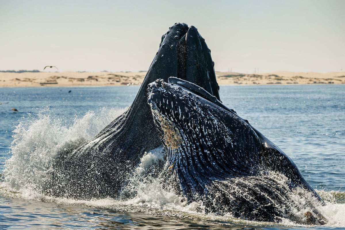
In the last major El Niño 10 years ago, the baitfish were concentrated closer to the coast — likely because of this exact process — and the whales followed them. This put them into areas of the ocean where they were more likely to interact with people, boats and fishing gear. There were many reports of whales getting tangled up in Dungeness crab fishing gear. That was likely driven in large part by this habitat compression.
In general, this vibrant coastal system is going to suffer some. We’ll see productivity decrease and we expect to see the abundance of a bunch of organisms decrease with it. We expect kelp forests to suffer as well.
How can we expect to see the impacts of El Niño on land?
Because of all this warm water, the big winter storms that usually track at a higher latitude are going to move to a lower latitude. And because the water is so warm, the storms might be bigger and more intense.
During the winter of 2022-2023, there were a few large storms that were bigger and lower-latitude than normal, so the swell from those storms hit the coast much more directly. During an El Niño, we tend to see more of those types of storms. The water in the Pacific is warmer, and then these storms that usually track higher shift further south. It's going to be much more of a direct punch to the entire California coast.
I expect, unfortunately, that some of these storms are going to come in at low angles with big energy and are going to create enough force to take out piers across the state. This could happen especially if they're coming in, say, mid-to-late December on our highest tides of the year, which are often called King Tides. If there’s more water in the Pacific in general, those King Tides are going to be a little bit higher too, so big swells that are aimed more directly at us will have an even bigger impact on the coast. The result may be even more coastal erosion, like what we saw in Southern California recently with coastal flooding in Newport Beach and houses getting taken out in Long Beach.
It’s going to be bad for a lot of things related to the ocean.
I also want to note some ways people may be better prepared in this El Niño related to habitat compression. For example, when whales got caught in Dungeness crab fishing gear ten years ago, that caught many people by surprise. But now the agencies are talking about it and planning for that possibility. There may be some changes if the same patterns appear, like delaying or changing Dungeness crab season to try and avoid those interactions. There’s been a lot of work to set up ropeless gear and other things to avoid those issues. But now that we know it’s coming, I think we are going to be much better prepared to make some adaptive decisions to avoid those bad outcomes.
What are the chances of a “super” El Niño happening this year, and when can we expect to see impacts?
According to the forecasts I’ve seen, subsurface temperatures continue to be significantly above average with widespread anomalies of greater than 10 degrees Celsius at depth. That is extreme. During October to December '26, there's a 75% chance of a historic event that would exceed the strength of previous El Niño events dating back to 1950. That's a 75% chance that it's going to be the strongest one in the last 75 years. We’re likely peaking in intensity sometime in November or December, according to this forecast. It’s going to be intense, and those big ocean swells tend to bring in more rain than normal.
What role does the Center for Coastal Marine Sciences play during phenomena like El Niño?
We have a whole range of ongoing monitoring work that will continue. A lot of the work, especially the oceanographic work, is part of larger networks — especially the Central Southern California Coastal Ocean Observing System and the Central and Northern California Ocean Observing System. Our location overlaps and we contribute key data and information to both.
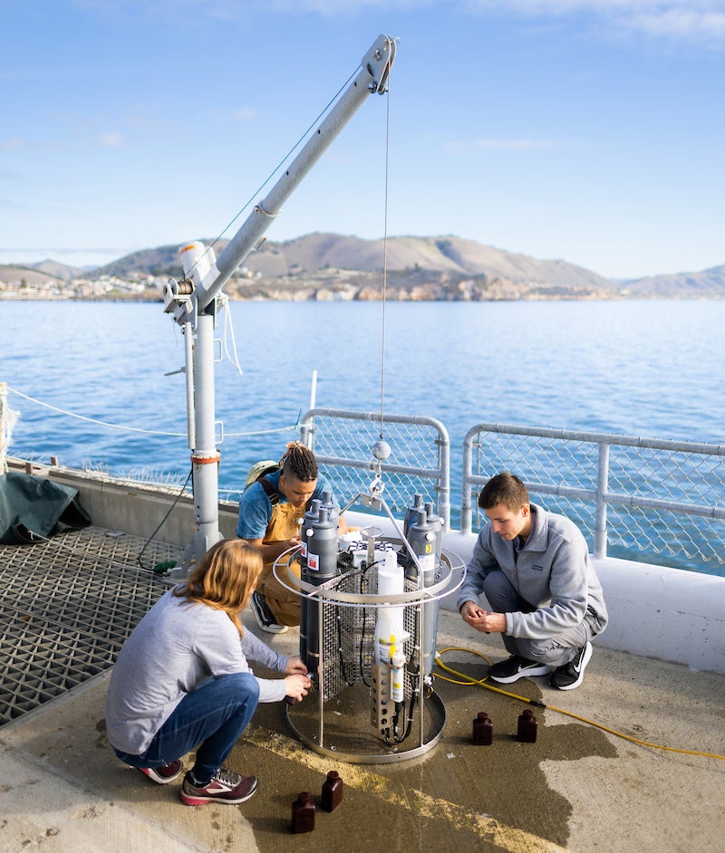
The data that we collect, which is related to currents, waves and temperatures as well as what’s happening with phytoplankton and ocean productivity in our area, gets combined with data from across the state and the entire West Coast. We will be contributing in part to the analysis of what's happening here.
At the Center for Coastal Marine Sciences, our charge is twofold. Our main focus is training our students to be great scientists and preparing them to go out and launch their careers to make a difference.
We are also doing research that helps us understand how our oceans are changing. We don't yet know if this intense El Niño is climate-driven, but the climate is changing, and the heat content of the ocean is higher than we’ve ever measured it.
One of the predictions is that events like this are going to be more frequent and more intense. Having the ability to collect data to try to understand what those impacts are locally and then how that affects the things we care about is really special. Allowing our students to do this work — in some cases alongside us, in some cases independently — is phenomenal.
For more information on how to stay prepared during El Niño, visit ReadySLO.org.
Want more Learn by Doing stories in your life? Sign up for our monthly newsletter, the Cal Poly News Recap!


